Remote Crop Identification
Remote crop identification allows us to detect and map target crops at scale, build a reliable digital layer of field-level visibility, and create a stronger foundation for procurement, planning, and supply intelligence. It transforms fragmented agricultural information into a more traceable, structured, and decision-ready system.

Locate
Dry Crops
Analyze
Supply
Optimize Procurement
OVERVIEW
Remote Crop Identification
Satellite intelligence enables a wide range of agricultural use cases — including crop identification, yield estimation, and crop management. Within this spectrum, crop identification serves as the foundation for accurate, scalable decision-making.
Field Mapping
Identify and map farmland growing the target crop using satellite data...
Locate Dry Crops
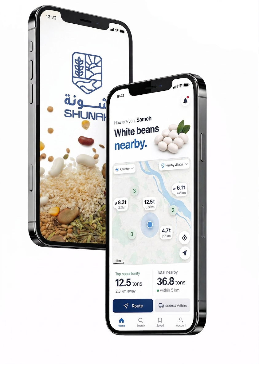
Identify crop locations across regions instantly.
Analyze Supply
Real-time insights on supply, availability, and volumes.
Plan Procurement
Plan sourcing with precision across regions and timelines.
OVERVIEW
Remote Crop Identification
Satellite intelligence enables a wide range of agricultural use cases — including crop identification, yield estimation, and crop management. Within this spectrum, crop identification serves as the foundation for accurate, scalable decision-making.
In-Depth
Step 1 / 8Field Mapping & Plot Registration
Identify and map farmland growing the target crop using satellite data, historical records, and local inputs. This creates the initial dataset of candidate fields to monitor and analyze.