Computer Aided Vision
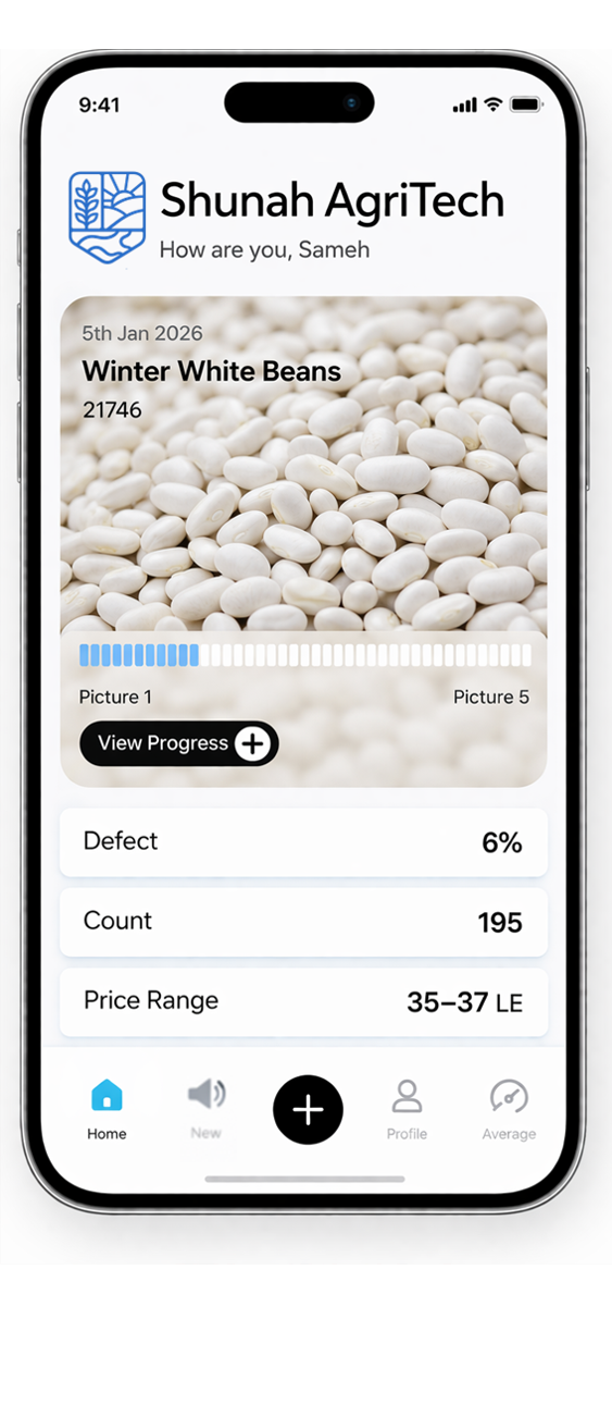
Computer-aided vision digitizes crop quality at the farm gate—removing subjectivity, standardizing grading, and enabling traceability. Each interaction builds a dynamic quality profile for every farmer, creating a digital identity of the grower and their land.

Detect
Quality
Standardize
Grading

Build Intelligence
OVERVIEW
Computer-Aided Vision
Computer-aided vision enables automated crop identification and quality assessment using image data. By analyzing satellite and field imagery, the system detects crop types, monitors growth patterns, and extracts actionable insights — forming the foundation for scalable, data-driven agricultural intelligence.
Field Mapping
Identify and map farmland growing the target crop using satellite data...
Detect Quality
Assess crop quality instantly at farm gate, reducing losses
Standardize Grading
Consistent grading eliminating human variability
Build Intelligence
Create data library linking quality to farmer and region
OVERVIEW
Computer Aided Vision
By analyzing close-range photos of physical samples, the system detects defects, evaluates condition, and standardizes grading — enabling fast, consistent, and objective quality assessment at scale.
In-Depth
Step 1 / 8Field Mapping & Plot Registration
Identify and map farmland growing the target crop using satellite data, historical records, and local inputs. This creates the initial dataset of candidate fields to monitor and analyze.